What we do.
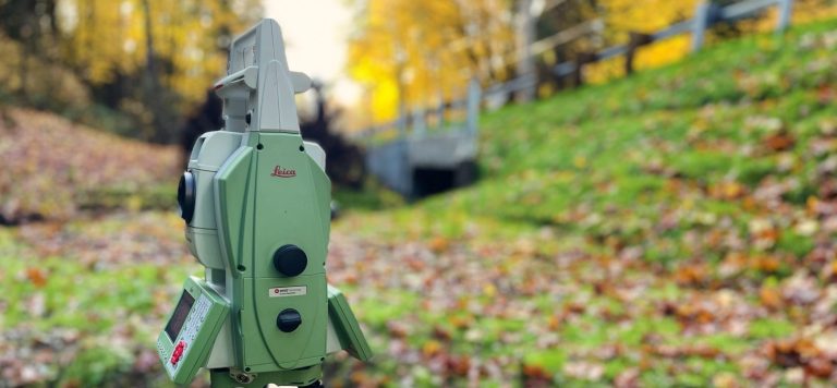
Topographic
A topographic survey is a type of land survey that maps and measures the physical features and elevations of a piece of land. It involves collecting data on the contours, slopes, vegetation, structures, and other characteristics of the land to create a detailed representation of its surface.
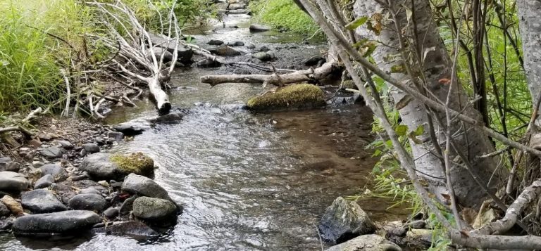
Bathymetric
The method used to measure and map the depth and topography of underwater surfaces, such as oceans, lakes, or rivers. It involves using specialized equipment, such as sonar or echo sounders, to gather data and create accurate representations of underwater terrain.

Project Management
Project control for land survey involves managing and overseeing all aspects of a land survey project to ensure its successful execution. This includes planning, scheduling, budgeting, coordinating resources, and monitoring progress to ensure that the survey is completed accurately, on time, and within budget.

Monitoring
Land survey monitoring refers to the ongoing observation and measurement of land features and conditions to track changes over time. It involves regularly assessing and recording data related to land movement, stability, and other factors to ensure the safety and proper management of land resources.
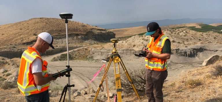
Boundary
A boundary survey is a type of land survey that determines the legal boundaries and property lines of a piece of land. It involves locating and marking the corners and lines of a property to establish its exact boundaries for legal and ownership purposes.
Elevation Certificate
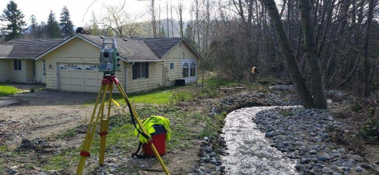
The Federal Emergency Management Agency, FEMA and your local municipality require Elevation Certificate to determine the likelihood of your house being damaged in a flood. This information is then used by your insurance agent to determine whether or not a property owner needs to obtain flood insurance on his or her property and what the insurance premium will be.

Hydraulic
The process that involves studying and analyzing the flow of water in a hydraulic system, such as rivers, canals, or pipelines, to gather data and make informed decisions regarding the design, maintenance, or improvement of the system.

Aerial
In addition to exhibits this method of collecting data and information about the Earth's surface using aerial platforms, such as airplanes, helicopters, or drones. It involves capturing images, videos, or other sensor readings from above to study and analyze various aspects of the land, including topography, vegetation, infrastructure, or environmental conditions.

Pit & Quarries
Pits and quarry surveys are conducted to assess and map the geological features, resources, and potential hazards within mining sites. These surveys involve collecting data on the dimensions, composition, and stability of the pits or quarries to ensure safe and efficient extraction of minerals or aggregates.
©Copyright. All rights reserved.
We need your consent to load the translations
We use a third-party service to translate the website content that may collect data about your activity. Please review the details in the privacy policy and accept the service to view the translations.
